
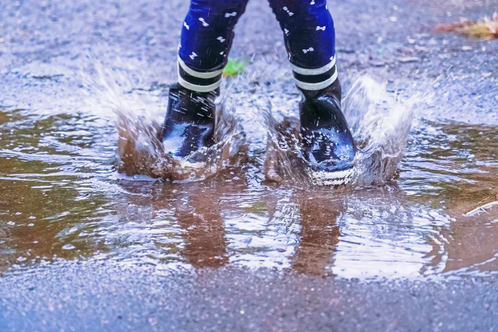
More wet weather ahead for NJ this weekend, but not a washout
The Bottom Line
After powerful storms fueled tornado warnings and dumped over 3 inches of rain over parts of New Jersey on Thursday, our weather settles down for Friday. Early morning fog and drizzle will turn to partly sunny skies for the majority of the day. I have removed the previous “stray shower” chance from the forecast, as it is now looking pleasant and dry for the duration. An area of low pressure is expected to bring more wet weather to New Jersey on Saturday. While I would not call it a total washout, the chance for heavy rain and thunderstorms is back on the table. The best chance for downpours will be early and late in the day. Unfortunately, it will not be a nice summer day due to the damp, cloudy, cooler conditions. By Sunday, spotty showers should be on their way out, and we will hopefully see some breaks of sun by the afternoon. Most of next week looks nice and comfortable, with sunshine and 80-degree temperatures expected for both Monday and Tuesday.

Weather Hazards
Friday stays quiet. All watches, warnings, and advisories have been dropped. Rain has exited New Jersey, flooding has subsided, and there are no major weather problems through the daytime hours.
Saturday is a concern, although I will say the flooding and especially the severe weather threat does not look as high as Thursdays. If a big influx of moisture fuels rounds of heavy rain, ponding and flooding problems are possible. At least one forecast model is still pumping out over 2 inches of rain for part of New Jersey. While that is not the consensus forecast at the moment, it is enough to keep a close eye on this next storm system.
By Sunday, any remaining rain should be lighter and should no longer pose a severe weather or flooding danger.
Climatological Context
August 21 is the 233rd day of 2026.
Normal high temperatures are around 84 degrees, while normal low temperatures range from 64 to 68 degrees.
August is, on average, New Jersey’s second hottest and second wettest month of the year.
Friday
Friday morning temperatures are mainly in the 60s up and down across New Jersey. There are lots of puddles around, along with a bit of fog and scattered clouds.
Otherwise, Friday begins with quiet weather. And it will turn into a pleasant day. A nice change of pace after Thursday’s stormy, soggy weather.
Let's call skies partly sunny for Friday, with the midday hours the brightest. And I think we will stay dry. (I have removed the mention of stray showers from the forecast.)
High temperatures will reach about 80 degrees. Not too hot. Not that humid. No thunderstorms. No alarm bells. A pretty nice day to close out the workweek.
Friday night stays quiet and fair, with increasing clouds and lows dipping into the mid 60s.
Saturday
New Jersey’s next storm system arrives Saturday. So unfortunately, the weekend forecast is far from ideal.
The timing of Saturday’s rain is tricky. Occasional periods of rain are expected throughout the day. But not all day. The best chance for some steady rain will be early and late. The best chance for rumbles of thunder will be late afternoon and early evening. In between, you should catch a lull in the rain. Although it will still feel unsettled and potentially damp, cloudy and cooler.
High temperatures will only reach the mid 70s. That is well below normal for late August.
There is a worst-case scenario here. Some mesoscale models show a lot of rain falling over New Jersey from Saturday through Saturday night, with very little break. Potentially totally multiple inches — a scene we have seen play out several times this summer, of course. I do not think this is the "most likely" scenario right now, but something we will have to watch.
Sunday
Sunday should be the better, brighter day of the weekend.
Spotty showers will still be possible through at least Sunday morning. But as the storm system exits, rain should become lighter and less widespread. I am hopeful we will dry out with breaks of sun developing by Sunday afternoon.
That would allow high temperatures to recover to the lower 80s. That would feel much more like a typical late-summer day.
Monday & Beyond
The payoff for this weekend’s unsettled weather will be some really nice weather early next week.
Monday looks sunny, dry, and comfortably warm, with highs around 80 degrees. Tuesday should be similar, with sunshine and highs again near 80. Overall, a pretty good setup for late August.
Unsettled, stormy weather may make a brief comeback by mid to late week. But there are no signs of dangerous heat or anything tropical affecting New Jersey anytime soon.
16 ways the weather can impact your Jersey Shore beach day
Gallery Credit: Dan Zarrow
Dan Zarrow is Chief Meteorologist for Townsquare Media New Jersey. Follow him on Facebook for the latest forecast and realtime weather updates.
