
NJ weather: Cloudy, cool, occasionally wet through the weekend
The Bottom Line
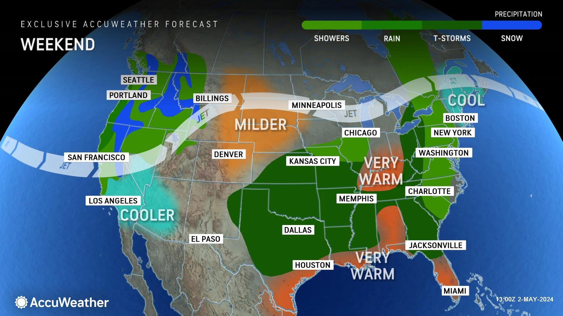
Goodbye 80s. With the return of an on-shore breeze, our weather on Friday and the weekend will be very different than the summerlike warmth from earlier in the week. We're talking about clouds, cooler-than-normal temperatures, and scattered rain.
Friday stays dry, but temperatures go nowhere. An increasing chance of showers is in the forecast for Saturday, but it will not be a total washout. Sunday will be the wetter weekend day, with up to an inch of total rainfall and rumbles of thunder possible.
And then, just as we head back to work next week, temperatures warm back into the 70s and 80s. Perfect timing, right? Next week will remain unsettled though, with a daily chance of at least some showers and thunderstorms.

Friday
Temperatures are in the 50s Friday morning. Not a bad start — we have been in the 50s every morning this week. The day begins with glimmers of sun and an occasional breeze.
Here's the problem: Thermometers just aren't going to go very far today. An area of high pressure over New England will keep an east-southeast (on-shore) breeze over New Jersey throughout the day. That puts us back in cool, unsettled weather.
Afternoon temperatures will likely settle in the mid 50s along the coast, while the western edge of NJ probably reaches the mid 60s. (I can not call those "high" temperatures for the day, because it was probably warmer early this morning.)
Skies will progress from mostly cloudy to overcast. But we will stay completely rain-free Friday and Friday night.
Low temperatures Friday night will dip into the upper 40s — our coolest night since last weekend.
Saturday
Just blah.
Cloudy skies will prevent high temperatures from climbing beyond 60 degrees Saturday.
While the day will start dry, the chance of showers will progressively increase from midday into the afternoon. It is not a total washout. Nor is it a guarantee that everyone in New Jersey gets wet. Just be on the lookout for spotty to scattered showers.
Sunday
Sunday will be the wetter day of the weekend.
Periods of rain are expected from morning through night on Sunday. That is not to say that it is going to rain all day. But it does look pretty wet overall.
The steadiest rain will likely be early and late on Sunday. In fact, as a little bit of instability develops in the atmosphere, some rumbles of thunder are possible into Sunday evening and Sunday night. Total rainfall could approach an inch for parts of the state — healthy, but not really heavy.
Even if you do catch a pocket of dry conditions on Sunday, it will be cloudy and dreary and miserably cool. High temperatures will only reach the 50s for most. (I suppose there is a chance for some 60s in South Jersey.)
Monday
Just in time for the new workweek, a shift to southerly winds will bring the return of warmer air.
High temperatures surge back into the lower to mid 70s. That is just above the long-term average for early May.
Aside from a chance of showers early and late Monday, and mostly cloudy skies, I think we will squeeze out a stretch of pleasant weather. You will hopefully catch some breaks of sun. It might even feel a bit humid.
Tuesday & Beyond
Next stays both warm and unsettled.
Tuesday will likely look similar to Monday, with mostly cloudy skies and 70s. There is a chance of spotty showers.
Model guidance shows the return of 80s on Wednesday. The increased heat and humidity in the atmosphere does raise the chance for thunderstorms late-day.
Eventually, I suspect a series of cold fronts will clear out and cool down our weather heading into the Mother's Day Weekend. I hope 1.) it doesn't get too chilly, and 2.) the timing of any rain or wind or other inclement weather does not coincide with another weekend.
LOOK: Record fish caught in New Jersey
Gallery Credit: Stacker
Dan Zarrow is Chief Meteorologist for Townsquare Media New Jersey. Follow him on Facebook for the latest forecast and realtime weather updates.