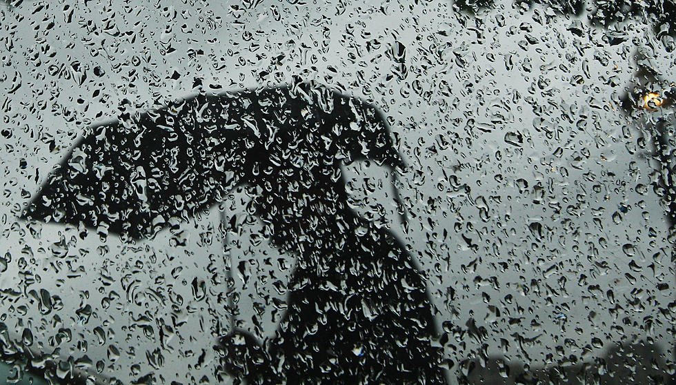
Another wet day for NJ: Over an inch of rain possible Thursday
The Bottom Line
March has been an incredibly wet month so far across New Jersey. Rainfall totals are as high as 9 inches now, making it one of the wettest calendar months we have seen in a long time. (Example: The weather station at Trenton-Mercer Regional Airport has picked up 7.48" of rain so far, trending toward the wettest month since November 2018.)
And, of course ... it is still raining! Thursday is going to be yet another wet day. Is it going to rain all day? Not necessarily. But we will have to deal with wet roads, reduced traction and visibility, and big puddles. Over an inch of additional rainfall is possible, especially along the southern and eastern edges of the state.
It is notable that there are no watches, warnings, or advisories posted for New Jersey. There is no risk of severe or wintry weather. Just some localized ponding and flooding issues.
Beyond Thursday's soggy mess, we face two weather nuisances through the upcoming holiday weekend. 1.) Wind on Friday, 2.) Showers on Saturday.
Easter Sunday will be the nicest — and warmest — day of the bunch.

Thursday
Several waves of rain will ride north along a frontal boundary Thursday. That front will drift very slowly to the east, gradually pushing rain off-shore. So there will be some breaks in the rain, as the day goes on. Especially inland, especially in the afternoon. But expect a wet day overall.
Grab an umbrella, splash in some puddles, and make the best of it.
Amidst the raindrops, it will stay cloudy and cool. Temperatures are in the 40s Thursday morning, and will rise to no better than 50 degrees through the afternoon.
Final showers should exit the state Thursday evening. (A slightly later timeline than we have discussed previously.) Skies will start to clear after Midnight. And it will become increasingly breezy overnight too.
Low temperatures will dip into the upper 30s for most of the state. Pretty chilly, especially with the stiff breeze.
Friday
Skies will turn sunny by late Friday morning, and the day will be completely dry. But we do have one weather nuisance to talk about for Friday: Wind.
Northwesterly gusts as high as 35 mph are expected Friday. You will not get "blown away" or anything. But it will be noticeable, and will add a "blustery" characteristic to the day.
High temperatures will reach the lower to mid 50s Friday. Not too bad — very close to normal for late March.
Saturday
There is one and only one weather nuisance for Saturday too: a quick batch of showers that will dive in from the west. The best chance of getting wet will be between the afternoon and evening hours. Not everyone will see rain. But keep an eye on the sky and keep the umbrella handy if you will be out and about.
For the rest of the day, expect a mix of clouds and sun. It will still be breezy, although not as windswept as Friday. High temperatures will hold steady in the seasonable mid 50s.
Sunday
The forecast Easter Sunday is looking good. Easily the warmest and therefore nicest day in the forecast.
Highs on Sunday should shoot into the 60s. I have been leaning toward the lower 60s. But latest model guidance shows some runaway warmth, as the wind lightens up and peeks of sun emerge. I would not even rule out a couple of 70-degree temps in South Jersey.
Skies will be partly to mostly cloudy on Sunday, as we stay completely dry. A very nice spring day all around.
The Extended Forecast
The long-range outlook gets tricky, as our weather stays pretty unsettled through the first week of April.
My current forecast includes some hit or miss showers on Monday, with below-normal temps near 50. And then another batch of soaking rain from Tuesday into Wednesday. This looks like another "inch or two" kind of storm, with the potential for rumbles of thunder and/or possibly some snowflakes to the northwest.
I am still liking the second week of April as the timeline for sustained warmth, with more and more 60s (and fewer and fewer freezing cold mornings) on the way.
KEEP READING: Get answers to 51 of the most frequently asked weather questions...
Dan Zarrow is Chief Meteorologist for Townsquare Media New Jersey. Follow him on Facebook for the latest forecast and realtime weather updates.
Solar eclipse mania! What NJ sungazers need to know for April 8, 2024
Gallery Credit: Dan Zarrow

